Tides, sun rise / sun set, currents, etc
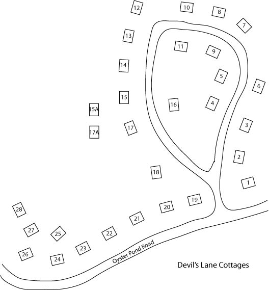
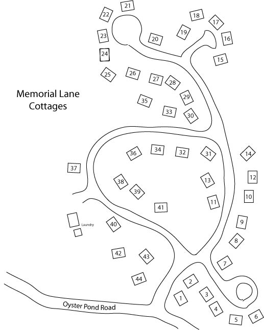
Map of the cottages: Devil's Lane - Memorial Lane
How to walk from the Hyatt to the cottages across the golf course
--- map of how to walk to Glendon Rd
--- from Glendon Rd, you can walk to Devil's Lane
--- in words:
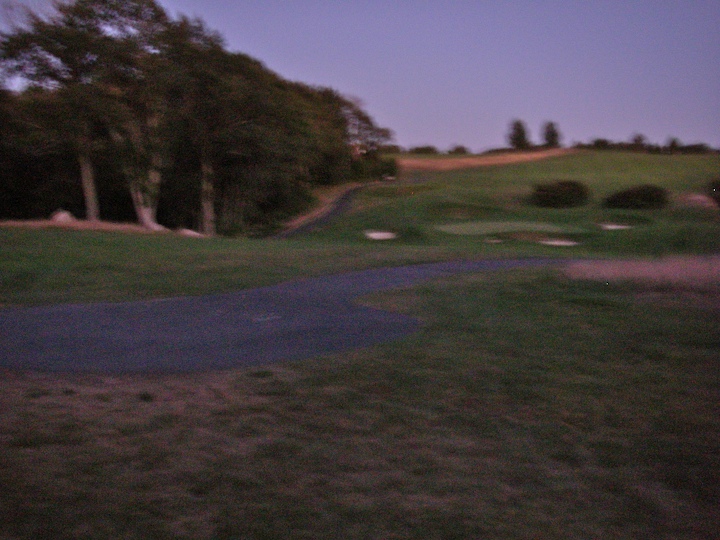
Walk into golf course a short distance to the asphalt path running parallel to
the street
Walk to the left on the asphalt path
When reach top of hill, turn right and walk onto the grass of the course
You should be close to the start of another asphalt path, this
begins in a circular space.
Follow the path.
There is a fork in the road, take the left fork.
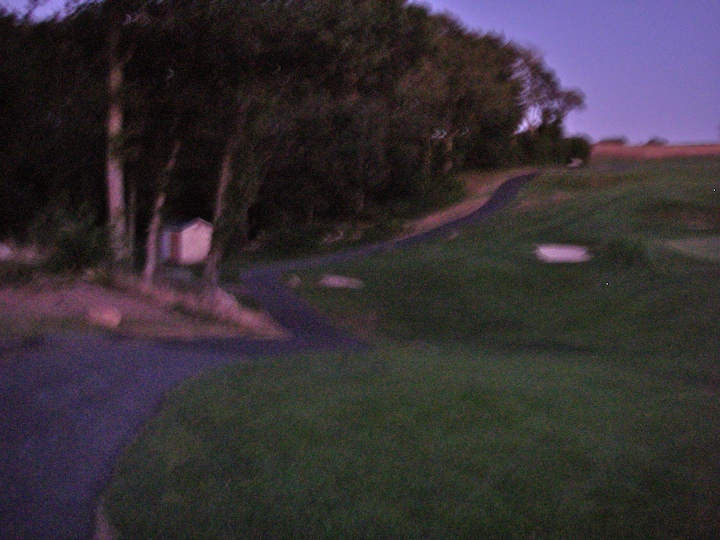
The path goes down, then up a fairly steep hill
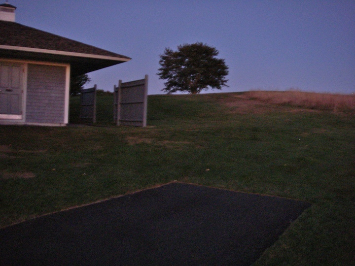
When the path comes to an end, 45° to the left is a field house. 20° to
the left is a single large tree on a hill. Walk towards the tree, to the
left of it. It is a moderate up hill.
Once at the tree, you can probably see cars passing along the road.
Walk towards the road. You are looking for a white
stake, about 3 feet
high, at the edge of the golf course. This is easy to see in daylight,
but you will probably have to walk along the edge of the course to find it at
night.
You can cross over a stone wall at any point, but it is easiest a few feet to
the left of the white stake.
This will bring you to Woods Hole Road. About
100 feet to the right is Glendon Rd.
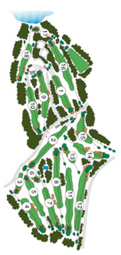
Golf course layout - the path described above goes around hole 6, past the beginning of hole 7, then across holes 8, 11 and 12.